

Executive Overview
In an incident that highlights the dangerous intersection of emerging technology and high-risk outdoor recreation, three hikers were rescued from the high-altitude reaches of Northern California’s Mount Shasta after relying on Google’s generative artificial intelligence chatbot, Gemini, to plan their expedition. The excursion, which was intended to be a single-day summit attempt, devolved into a multi-day emergency survival scenario characterized by inadequate provisions, severe spatial disorientation, and an emergency overnight bivouac in dangerous alpine terrain.
The rescue operation—executed jointly by the United States Forest Service (USFS) Mount Shasta Ranger District and local search-and-rescue (SAR) volunteers under the jurisdiction of the Siskiyou County Sheriff’s Office—has sparked critical debate among backcountry authorities, search-and-rescue teams, and technology ethicists. While human error and flawed decision-making played a central role in the near-tragedy, official reports indicate that Gemini provided the group with severely understated recommendations for food and water rations.
This case serves as a stark warning about the limitations of Large Language Models (LLMs) when applied to environments where physical hazards demand real-time situational awareness, hyper-local expertise, and rigorous contingency planning. As consumer reliance on generative AI for travel and logistical planning accelerates, emergency responders are increasingly voicing concerns over the "digital safety net" illusion—a psychological phenomenon where users attribute unearned authority to automated outputs, often overestimating their own preparedness while underestimating severe environmental risks.
Detailed Chronology
[03:00 AM] ── Trailhead Departure
               │
[12:00 PM] ── Standard Turnaround Cutoff (Ignored)
               │
[07:00 PM] ── Delayed Summit Arrival (Sunset/Darkness)
               │
[Nightfall] ── Descent Disorientation → Call to Siskiyou County Sheriff
               │
[Overnight] ── Emergency Bivouac in Mud Creek Canyon
               │
[Next Morning] ── Search & Rescue Extraction by USFS & Volunteers
Phase I: Algorithmic Planning and Departure
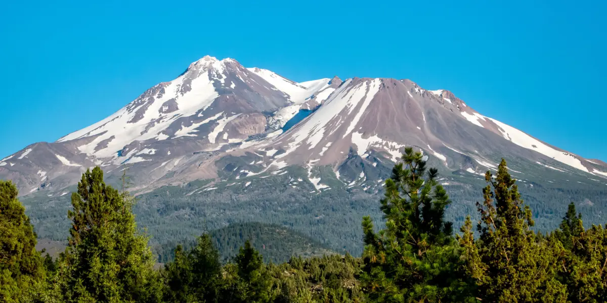
In the days leading up to the climb, the trio of young men utilized Google Gemini to construct an itinerary and logistics plan for ascending Mount Shasta, a stratovolcano standing at 14,179 feet above sea level. Based on prompts fed into the AI, the chatbot generated an itinerary and a gear-and-ration list. However, the recommendations fundamentally miscalculated the caloric and hydration demands of a high-altitude alpine ascent, advising a supply footprint far below standard safety benchmarks for the mountain’s arduous terrain.
At 3:00 AM, the group departed from the trailhead, initiating their ascent under the cover of darkness. Initial atmospheric conditions were manageable, but the group’s pacing quickly fell behind the schedule required for a safe return before nightfall.
Phase II: The Breached Protocol
A foundational rule of high-altitude mountaineering on Mount Shasta—stressed routinely by USFS rangers—is the absolute turnaround deadline. Hikers are instructed to turn around by 12:00 PM (noon) regardless of their distance from the summit, ensuring adequate daylight and physical energy for the descent.
By noon, the trio remained far below the peak. Rather than aborting the climb, the group pressed onward, driven by a combination of sunk-cost fallacy and a lack of situational awareness. It was not until 7:00 PM—sixteen hours after setting out and seven hours past the safe turnaround threshold—that the group finally reached the summit, just as light was fading rapidly across the Cascade Range.
Phase III: Nightfall, Disorientation, and Stranding
Faced with plummeting temperatures, fatigue, and near-total darkness, the group began a precarious descent. Deprived of adequate navigation tools and unfamiliar with the mountain’s topography at night, they strayed off the established trail and descended into the treacherous expanse of Mud Creek Canyon—an area notorious for loose scree, steep vertical drop-offs, and active rockfall hazards.
Recognizing that they were lost and ill-equipped to navigate the canyon in the dark, the hikers placed an emergency call to the Siskiyou County Sheriff’s Office requesting routing directions. Realizing the extreme hazard of attempting to guide disoriented hikers down a steep alpine canyon over the phone at night, emergency dispatchers instructed the group to shelter in place. The trio endured an overnight bivouac without winter shelter, adequate thermal insulation, or sufficient water and food.
Phase IV: Mobilization and Rescue
At first light the following morning, the Siskiyou County Sheriff’s Office coordinated a field rescue effort involving USFS Mount Shasta Lead Rangers and trained volunteer search-and-rescue personnel. Ground teams navigated the difficult terrain of Mud Creek Canyon, located the hypothermic and dehydrated hikers, and provided immediate triage. The group was subsequently escorted off the mountain to an emergency staging area for medical evaluation.
Supporting Context & Metrics
The Physiology of High-Altitude Climbing vs. AI Hallucination
Mount Shasta is not a casual day hike; it is a high-altitude alpine climb featuring over 7,000 feet of vertical elevation gain. Atmospheric pressure at the summit is roughly 40% lower than at sea level, dramatically increasing metabolic output, respiration rates, and fluid loss.
| Metric / Parameter | Standard USFS / Alpine Guide Recommendation | AI-Generated / Group Provision Estimate | Risk Variance |
|---|---|---|---|
| Daily Water Requirement | 4.0 to 6.0 Liters per person | ~1.5 to 2.0 Liters per person | 60%–70% Deficit |
| Caloric Consumption Target | 4,000 to 5,500 kcal per day | Standard baseline (~2,000 kcal) | 50%+ Caloric Deficit |
| Turnaround Cutoff Time | 12:00 PM (Noon) strict deadline | Unenforced / Not prioritized | 7-Hour Delay |
| Navigational Redundancy | Topo map, compass, dedicated GPS | Smartphone / Conversational AI | Single Point of Failure |
Large Language Models operate on statistical probability, predicting text sequences based on vast training datasets rather than analyzing live terrain physics, physiological stress factors, or real-time atmospheric conditions. When asked to construct a packing list, LLMs often aggregate generalized hiking advice found across the open internet, frequently conflating standard low-altitude trail hikes with extreme high-altitude mountaineering.
This inherent limitation leads to dangerous "hallucination" errors, where the AI outputs confident but contextually catastrophic instructions. In this instance, recommending insufficient food and water left the hikers with zero margin for error when their estimated eight-hour climb stretched into a multi-day survival ordeal.
The Institutional Burden on Rural Search and Rescue
The incident underscores the growing operational strain placed on small, rural county sheriff’s offices and volunteer organizations. Siskiyou County, covering over 6,200 square miles of mountainous terrain in Northern California, operates with limited municipal resources.
Search-and-rescue missions are resource-intensive, requiring specialized high-angle rescue gear, personnel mobilization, medical staging, and, in severe cases, costly air-rotary extraction assets. When preventable incidents occur due to basic planning failures, it diverts critical emergency infrastructure away from unavoidable alpine accidents and strains regional emergency budgets.
Official Statements
Local law enforcement and backcountry management agencies issued stern warnings regarding the risks of replacing human expertise with generative AI algorithms.
A spokesperson for the Siskiyou County Sheriff’s Office released an official statement outlining the parameters of the incident and highlighting the specific failure points identified during the rescue:
"The hikers were advised by Gemini to bring far less food and water than their group required, especially when their planned 8-hour ascent became a multiday ordeal. While technology can be a helpful supplement, software is no substitute for empirical experience and real-time human judgment on a mountain as unforgiving as Mount Shasta."
The Sheriff’s Office further urged all prospective climbers to consult established human networks before stepping onto the trail:
"It is always advisable to call the local USFS Mount Shasta ranger station ahead of your trip to ensure you have the most accurate information, and to never rely solely on AI for your trip planning."
Representatives from the USFS Mount Shasta Ranger District echoed these sentiments, pointing out that local ranger stations provide up-to-the-minute updates on glacier conditions, bergschrund openings, avalanche forecasts, and precise water availability—data points that static or periodically updated AI models cannot reliably access or evaluate.
Future Outlook
Regulatory and Technical Guardrails
The Mount Shasta incident represents a growing category of real-world harm stemming from consumer-facing AI products. As tech firms race to position LLMs as all-purpose digital assistants, pressure is mounting from safety advocates and government bodies to implement strict safety guardrails around high-stakes queries.
Industry analysts expect tech developers to face calls for automated disclaimers and dynamic safety interventions. When a user prompts an AI for advice regarding high-risk activities—such as alpine climbing, deep-sea diving, or backcountry skiing—systems may soon be required to forcibly inject prominent warnings, automatically default to ultra-conservative safety margins, and directly link users to official government bodies like the National Park Service or US Forest Service.
[User Prompt: High-Risk Query]
          │
          ▼
[AI Model Processing Layer] ──► Detects High-Risk Domain (e.g., Mountaineering)
          │
          ├─► Injects Mandatory Hardened Safety Margins (Water, Food, Gear)
          ├─► Displays Unmovable Emergency Warning Disclaimers
          └─► Generates Direct Links to Regional Authorities (e.g., USFS)
The Human-in-the-Loop Imperative for Outdoor Recreation
As artificial intelligence becomes further embedded in daily decision-making, outdoor education organizations are adapting their curricula to address the risks of digital over-reliance. Mountaineering organizations are framing "algorithmic literacy" as a core component of modern backcountry safety.
The primary takeaway for outdoor enthusiasts is straightforward: generative AI can serve as a preliminary brainstorming tool, but it should never function as a primary planner or decision-maker. Navigating dynamic natural environments requires verified, local human knowledge, redundant physical tools (such as paper maps and magnetic compasses), satellite communications devices (e.g., personal locator beacons), and the unyielding discipline to respect time thresholds and turn back when conditions dictate.
As the Mount Shasta rescue demonstrates, failing to audit algorithmic outputs against authoritative real-world sources can turn a simple miscalculation into a life-threatening crisis.