
Executive Overview
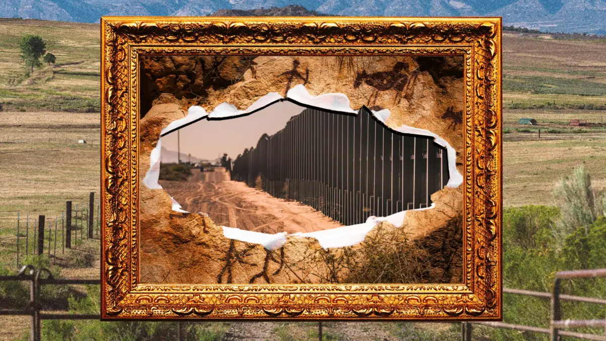
While public outcry has largely focused on the visible ecological scarring of pristine desert landscapes within Big Bend National Park, a much quieter and potentially more destructive battle is playing out across the private ranches of West Texas. The Department of Homeland Security (DHS) and Customs and Border Protection (CBP) have plowed billions of dollars into constructing a massive barrier network spanning a remote, 500-plus-mile riverfront expanse. Beyond the immediate political and environmental debates, this infrastructure is set to cut directly across some of North and Central America’s richest, most fragile archaeological sites.
Bulldozers, heavy machinery, and planned physical barriers threaten to obliterate ancient indigenous artifacts, fracture millennia-old rock art, and permanently sever access to irreplaceable slices of human history. Because many of these historically significant zones sit squarely on private lands—stretching from the Lower Pecos Canyonlands to historic ranches near the Rio Grande—they remain largely unstudied. Consequently, the rapid pace of construction risks erasing chapters of North American prehistory before researchers even have the opportunity to record them.
Facing waived federal preservation laws, encroaching work camps, and the imminent destruction of sacred landscapes, a coalition of generational ranchers, renowned archaeologists, and local property owners are mounting a desperate defense to protect their livelihoods and a heritage that predates the United States by millennia.
Detailed Chronology of Events
The Push for West Texas Border Infrastructure
- Early Contracts and Planning: Armed with billions of dollars in congressional allocations, DHS and CBP awarded massive contracts to ramp up border wall construction along a remote 500-plus-mile stretch of the US-Mexico border in West Texas. This corridor encompasses fragile ecosystems, national parks, and historic riverfronts.
- August 6 (The Big Bend Push): Following intense public scrutiny and bipartisan backlash regarding an initial proposal for a 30-foot steel bollard wall through Big Bend National Park, DHS altered course. Officials scaled back the park design, substituting riverside vehicle barriers and over 200 miles of road construction. Heavy machinery and bulldozers officially began clearing terrain along the Rio Grande corridor near Santa Elena Canyon.
- Legal Stalls and Pivot to Private Lands: Environmental lawsuits temporarily halted physical construction within the national park boundaries. However, federal agencies pivoted aggressively toward adjacent private lands, planning a complex web of roads and barriers across rugged mountains and canyons outside federal jurisdiction.
Archaeological Discoveries vs. Encroaching Machinery
- Two Years at Canta Recio: For the past 24 years, archaeologist Bryon Schroeder, director of Sul Ross University’s Center for Big Bend Studies, has meticulously excavated the Canta Recio site on rancher Jeff Fort’s property. Removing sediment just 4 inches at a time, Schroeder’s team has unearthed pottery, melted adobe slick building material dating back to AD 800, and trade items like turquoise and marine shells linking the site to Paquimé, a UNESCO World Heritage site 200 miles away in Mexico. Crucially, Canta Recio lies directly in the path of the proposed barrier system.
- Threats to the Lower Pecos Canyonlands: Further downriver, multi-generational rancher Patrick Zuberbueler has watched helplessly as federal plans target Painted Shelter, a limestone rock shelter on his family’s Comstock-area ranch. The site features priceless 6,000-year-old rock art displays. Construction above the canyon threatens to destroy the local stream and cause vibrations that could lead the limestone canvas to spall—or sheet off—destroying invaluable indigenous art.
- Current Resistance: Local residents and landowners report that contractors have already moved aggressively into the region, setting up temporary workforce housing ("man camps") and, in some cases, bulldozing private property before securing legal right-of-entry, damaging irrigation systems and native vegetation in the process. Families in communities like San Ygnacio have responded by filing lawsuits to halt construction on their ancestral lands.
Supporting Context & Metrics
To fully understand the magnitude of what is at stake in West Texas, one must examine the region’s unique archaeological landscape, the legal mechanisms sidestepped by federal authorities, and the sheer density of lost history facing destruction.
The Archaeology of the Rio Grande Corridor
The geography of the Rio Grande has drawn human settlement for millennia. Archaeologist Bryon Schroeder compares sites like Canta Recio to the ancient Egyptian settlements along the Nile. Between AD 800 and 1400, successive groups were drawn to the fertile floodplains created by routine river overflows. When major floods breached the banks, communities were forced to move on, only for new groups to settle the area once the silt stabilized.

This cyclical pattern left behind stratified layers of human history containing:
- Mesoamerican Artifacts: Copper bells, turquoise, and specialized pottery indicating sophisticated trade networks stretching deep into modern-day Mexico.
- The Polvo Site (Redford, Texas): A prehistoric village featuring a 1300s burial ground alongside the remnants of a 1600s Spanish mission, slated to be split by a 30-foot bollard wall.
- Eagle Nest Canyon (Langtry, Texas): One of the most intensively studied sites in the state, containing the southernmost documented bison jump site in the United States, where ancient hunters drove herds over cliffs en masse.
The Lower Pecos Canyonlands and Rock Art "Libraries"
The Lower Pecos Canyonlands Archaeological District—where Patrick Zuberbueler’s family ranch is located—was designated a National Historic Landmark on January 13, 2021. The region is world-renowned for its monumental rock art. Dr. Carolyn Boyd, a research professor at Texas State University and founder of the Shumla Archaeological Research and Education Center, describes these painted panels—some up to 50 feet tall and hundreds of feet wide—as "libraries of human knowledge."
Created between 6,000 and 1,000 years ago across three distinct stylistic periods, these artworks encode complex cosmologies, oral histories, and ecological observations. According to Boyd’s spatial analyses, border construction directly threatens at least 12 major rock art sites with physical destruction, while rendering another 79 entirely inaccessible to researchers and descendants.
The Legal Loophole: Waiving Preservation Laws
Under standard federal operations, the National Historic Preservation Act mandates that federal agencies "to the maximum extent possible undertake such planning and actions as may be necessary to minimize harm" to National Historic Landmarks. However, the Department of Homeland Security possesses sweeping statutory authority under the REAL ID Act of 2005.
DHS routinely exercises this authority to waive dozens of federal environmental, cultural, and historic preservation laws—including the National Environmental Policy Act, the Endangered Species Act, and the National Historic Preservation Act—in the name of expeditious border security. This legal waiver renders standard oversight mechanisms toothless, leaving private landowners and academic institutions with few statutory avenues to halt destructive construction.

Official Statements & Perspectives
The clash between national security mandates and historical preservation has generated starkly contrasting viewpoints from federal agencies, researchers, and local stewards of the land.
- Customs and Border Protection (CBP): A CBP spokesperson defended the agency’s approach, emphasizing that officials are actively conducting environmental and cultural reviews. The agency maintains that its objective is to "minimize impacts and balance operational needs with responsible land stewardship."
- Dr. Bryon Schroeder (Director, Center for Big Bend Studies): Highlighting the unprecedented density of uncatalogued antiquities, Schroeder notes the profound paradox facing modern researchers: "There’s some bigger, cooler sites up the river that are just insane. They have so much pottery, they have Mesoamerican copper bells, they have turquoise. They have all sorts of crazy stuff." Yet, because these sites rest on private ranches, their complete scope may be permanently erased before science can document them.
- Dr. Carolyn Boyd (Founder, Shumla Archaeological Research and Education Center): Reflecting on four decades dedicated to decoding the Lower Pecos rock art, Boyd described the current situation as a waking nightmare. She advocates for a pivot away from destructive physical infrastructure toward advanced technological surveillance: "Maybe it’s wishful thinking, but I hope I can get the government to understand the significance of the region’s archeology and revise its plans to rely on technology to patrol the area rather than physical infrastructure."
- Patrick Zuberbueler (West Texas Rancher): Speaking on behalf of his family, who have worked their Comstock ranch since 1898, Zuberbueler underscored the dual threat to indigenous heritage and modern agricultural survival: "The ranch continues to shrink and shrink and shrink, and you can’t effectively ranch something that way. They’re hurting our livelihood as producers… It’s almost unfathomable to even put it into context, the different ways that this can be detrimental to us. We’re not going to go down without a fight."
Future Outlook
The immediate future of West Texas’s cultural heritage hangs in a precarious balance. While federal courts and ongoing lawsuits have successfully slowed or modified construction within high-profile public lands like Big Bend National Park, private property owners lack the same immediate institutional shields.
Staging areas packed with steel bollards and temporary workforce camps signal that federal contractors are poised to resume heavy excavation the moment legal roadblocks are cleared. For archaeologists like Schroeder and Boyd, the ticking clock represents an existential threat to centuries of unmapped human history. Every acre of unstudied sediment bulldozed for vehicle access roads or barrier foundations represents an irreversible loss of data regarding early North American trade networks, hunter-gatherer societies, and indigenous spiritual traditions.
At the same time, a growing network of resistance—spanning from San Ygnacio to the Lower Pecos—demonstrates that local families are unwilling to surrender their ancestral lands without a legal struggle. Whether through coordinated class-action lawsuits, public awareness campaigns, or pressure on lawmakers to mandate non-invasive surveillance technologies over concrete and steel walls, the fight to save West Texas’s 6,000-year-old story is entering a decisive, high-stakes chapter.